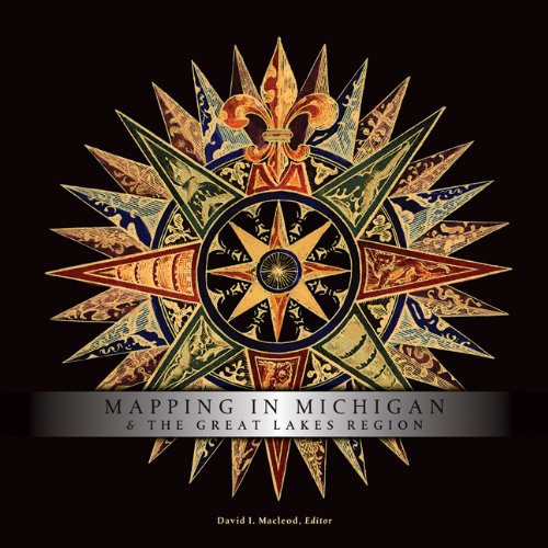
Mapping in Michigan and the Great Lakes Region

Mapping in Michigan and the Great Lakes Region

by David I. Macleod

377 pages· 2007· ISBN 9780870138072
About
An illustrated chapter on the renowned Michigan map expert Louis Karpinski opens this volume, following a comparative introduction by the noted cartographic historian David Buisseret. Twelve chapters tell particular stories. Often these narratives extend well beyond the limits of today's state of Michigan. Ameican Indian mapmakers sought to give directions and convey cosmological meanings and political relationships; only gradually did they adopt the geometric framing and uniformity of European maps, which reflected a different set of cultural attitudes. Would-be colonial governors mapped to promote their dreams. Boundary commissioners surveyed and mapped to settle contested claims and lay the foundations for peace along the U.S.-Canadian border. On the Canadian side, surveyors drew maps to build up the new British colony against American influences and encroachments. Mapmakers were also ambitious entrepreneurs, peddling illustrated county atlases to proud farm owners, bird's-eye views to show off towns, and plat and insurance maps to aid property development. In describing how people produced and used maps, contributors tell a larger story of one region's peoples and cultures—and of a nation's zeal for exploration.

Discuss Mapping in Michigan and the Great Lakes Region with other readers

Join or start a book club for Mapping in Michigan and the Great Lakes Region on Readfeed. Live chat, shared reading progress, and AI discussion questions — free to get started.

Frequently asked questions

How do I join a book club for Mapping in Michigan and the Great Lakes Region?

Sign up free on Readfeed, then browse public clubs or start your own club with Mapping in Michigan and the Great Lakes Region as the current read. Invite friends with a share link and discuss together with live chat and AI discussion questions.

Can I discuss Mapping in Michigan and the Great Lakes Region with other readers online?

Yes. Readfeed book clubs let you chat live, share progress, and join discussions about Mapping in Michigan and the Great Lakes Region with readers worldwide — whether your club is virtual, in-person, or hybrid.

Is Readfeed free?

Yes. Creating an account and joining book clubs is free. Sign up to find readers who love the same books and start discussing today.