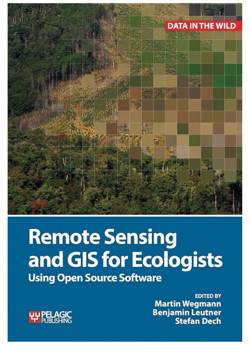
Remote Sensing and GIS for Ecologists

Remote Sensing and GIS for Ecologists

Using Open Source Software

by Martin Wegmann, Benjamin Leutner, Stefan Dech

352 pages· 2016· ISBN 9781784270247
About
This is a book about how ecologists can integrate remote sensing and GIS in their daily work. It will allow ecologists to get started with the application of remote sensing and to understand its potential and limitations. Using practical examples, the book covers all necessary steps from planning field campaigns to deriving ecologically relevant information through remote sensing and modelling of species distributions. All practical examples in this book rely on OpenSource software and freely available data sets. Quantum GIS (QGIS) is introduced for basic GIS data handling, and in-depth spatial analytics and statistics are conducted with the software packages R and GRASS. Readers will learn how to apply remote sensing within ecological research projects, how to approach spatial data sampling and how to interpret remote sensing derived products. The authors discuss a wide range of statistical analyses with regard to satellite data as well as specialised topics such as time-series analysis. Extended scripts on how to create professional looking maps and graphics are also provided. This book is a valuable resource for students and scientists in the fields of conservation and ecology interested in learning how to get started in applying remote sensing in ecological research and conservation planning.

Discuss Remote Sensing and GIS for Ecologists with other readers

Join or start a book club for Remote Sensing and GIS for Ecologists on Readfeed. Live chat, shared reading progress, and AI discussion questions — free to get started.

Frequently asked questions

How do I join a book club for Remote Sensing and GIS for Ecologists?

Sign up free on Readfeed, then browse public clubs or start your own club with Remote Sensing and GIS for Ecologists as the current read. Invite friends with a share link and discuss together with live chat and AI discussion questions.

Can I discuss Remote Sensing and GIS for Ecologists with other readers online?

Yes. Readfeed book clubs let you chat live, share progress, and join discussions about Remote Sensing and GIS for Ecologists with readers worldwide — whether your club is virtual, in-person, or hybrid.

Is Readfeed free?

Yes. Creating an account and joining book clubs is free. Sign up to find readers who love the same books and start discussing today.